


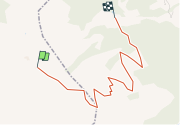

18.3 km | 32 km-effort


User


FREE GPS app for hiking
 SityTrail
IGN / Geographical institutes
SityTrail World
The world is yours!
Trail Other activity of 3.9 km to be discovered at Vorarlberg, Bezirk Bludenz, Gemeinde Sankt Gallenkirch. This trail is proposed by Mangold.
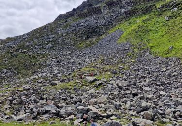
On foot

Touring skiing